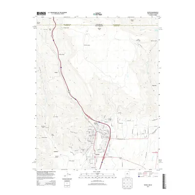
2013 Map of Raton
USGS Topo · Published 2013About this map
Raton sits at the base of the high mesas near the New Mexico-Colorado border, serving as a critical gateway along the historic mountain passage. The terrain is defined by dramatic elevation changes, where the high flat top of Bartlett Mesa drops away into a series of deep drainages including Railroad Canyon, Savage Canyon, and Coal Canyon. This geography necessitated the engineering of the Raton Tunnel to navigate the Raton Pass, a vital transportation corridor through the Sangre de Cristo Mountains.
Find a feature on this map
73 named features on this map. Tap any name to fly to it.
Don’t see what you’re looking for? This feature index may not catch every label — zoom into the map to look around manually.
Map Details
Editions of this 2013 Raton Map
This is the sole edition of this map. No revisions or reprints were ever made.
Other maps of this area

1891 · Spanish Peaks
USGS Topo · 1:125,000

1892 · Elmoro
USGS Topo · 1:125,000

1893 · Spanish Peaks
USGS Topo · 1:125,000

1893 · Elmoro
USGS Topo · 1:125,000

1895 · Spanish Peaks
USGS Topo · 1:125,000

1897 · Elmoro
USGS Topo · 1:125,000

1897 · Spanish Peaks
USGS Topo · 1:125,000

1900 · Spanish Peaks
USGS Topo · 1:125,000

1912 · Raton
USGS Topo · 1:62,500

1914 · Raton
USGS Topo · 1:62,500