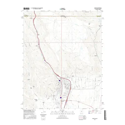
2017 Map of Raton
USGS Topo · Published 2017About this map
Raton serves as the focal point of this high-altitude landscape, where the northern border of New Mexico meets Colorado. The settlement pattern is defined by the steep terrain of the Sangre de Cristo foothills, with the city's grid reaching toward the base of Goat Hill and extending through the narrow corridor of Railroad Canyon. To the north, the historic Raton Pass and the Raton Tunnel mark the critical mountain crossing that has long served as a gateway between the two states.
Find a feature on this map
93 named features on this map. Tap any name to fly to it.
Don’t see what you’re looking for? This feature index may not catch every label — zoom into the map to look around manually.
Map Details
Editions of this 2017 Raton Map
This is the sole edition of this map. No revisions or reprints were ever made.
Other maps of this area

1891 · Spanish Peaks
USGS Topo · 1:125,000

1892 · Elmoro
USGS Topo · 1:125,000

1893 · Spanish Peaks
USGS Topo · 1:125,000

1893 · Elmoro
USGS Topo · 1:125,000

1895 · Spanish Peaks
USGS Topo · 1:125,000

1897 · Elmoro
USGS Topo · 1:125,000

1897 · Spanish Peaks
USGS Topo · 1:125,000

1900 · Spanish Peaks
USGS Topo · 1:125,000

1912 · Raton
USGS Topo · 1:62,500

1914 · Raton
USGS Topo · 1:62,500