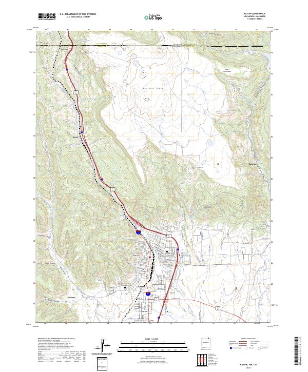
2023 Map of Raton
USGS Topo · Published 2023About this map
Raton sits at the base of the significant Raton Pass, a gateway between New Mexico and Colorado defined by the dramatic ascent of the Bartlett Mesa. This survey illustrates the intricate relationship between the mountain terrain and the transportation corridors that follow Raton Creek and Railroad Canyon. The town's layout is meticulously detailed, including the Colfax County Leon Karelitz Judicial Center and several historical burial grounds such as Fairmont Cem and Presbyterian Cem.
Find a feature on this map
120 named features on this map. Tap any name to fly to it.
Don’t see what you’re looking for? This feature index may not catch every label — zoom into the map to look around manually.
Map Details
Editions of this 2023 Raton Map
This is the sole edition of this map. No revisions or reprints were ever made.
Other maps of this area

1891 · Spanish Peaks
USGS Topo · 1:125,000

1892 · Elmoro
USGS Topo · 1:125,000

1893 · Spanish Peaks
USGS Topo · 1:125,000

1893 · Elmoro
USGS Topo · 1:125,000

1895 · Spanish Peaks
USGS Topo · 1:125,000

1897 · Elmoro
USGS Topo · 1:125,000

1897 · Spanish Peaks
USGS Topo · 1:125,000

1900 · Spanish Peaks
USGS Topo · 1:125,000

1912 · Raton
USGS Topo · 1:62,500

1914 · Raton
USGS Topo · 1:62,500