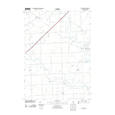
2011 Map of Rattle Run
USGS Topo · Published 2011About this map
Belle River and the Pine River define this corner of Saint Clair County, where the landscape is marked by a complex system of drainage and energy infrastructure. The community of Rattle Run sits at the northern end of the map near the Rattle Run Cemetery, while industrial activity is visible further south at the Big Hand Oil Field and the Belle River Mills Gas Storage Area. These sites, along with the Adair Gas and Oil Field, illustrate the region's long-standing connection to local resource extraction.
Find a feature on this map
86 named features on this map. Tap any name to fly to it.
Don’t see what you’re looking for? This feature index may not catch every label — zoom into the map to look around manually.
Map Details
Editions of this 2011 Rattle Run Map
This is the sole edition of this map. No revisions or reprints were ever made.
Other maps of this area

1912 · Port Huron
USGS Topo · 1:62,500

1914 · Algonac
USGS Topo · 1:62,500

1928 · Hicky
USGS Topo · 1:62,500

1929 · Port Huron
USGS Topo · 1:62,500

1936 · St. Clair
USGS Topo · 1:31,680

1936 · Rattle Run
USGS Topo · 1:31,680

1936 · New Baltimore
USGS Topo · 1:31,680

1939 · New Baltimore
USGS Topo · 1:24,000

1939 · Adair
USGS Topo · 1:24,000

1939 · Port Huron
USGS Topo · 1:24,000
Featured Places
- Saint Clair, MI
- Columbus Township, MI
- Casco Township, MI
- St. Clair Township, MI
- China Charter Township, MI