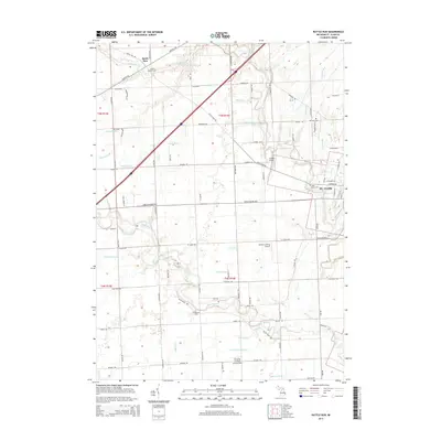
2014 Map of Rattle Run
USGS Topo · Published 2014About this map
St. Clair and the nearby hamlet of Rattle Run define this landscape just inland from the riverfront. The terrain is structured by a network of drainage systems and creeks, including Pine River, Beaubien Cr, and the winding Belle River. This survey captures the region's aviation and agricultural heritage, shown through facilities like Crystal Airport and David's Landing Airport. For genealogists, the map is a vital record of local family history, preserving the locations of several burial grounds such as Rattle Run Cem, Balfour Cem, and Saint Marys Cem. The settlement pattern follows established corridors like Gratiot Rd and Rattle Run Rd, illustrating how early transportation routes influenced the placement of farms and small communities throughout St. Clair County.
Find a feature on this map
60 named features on this map. Tap any name to fly to it.
Don’t see what you’re looking for? This feature index may not catch every label — zoom into the map to look around manually.
Map Details
Editions of this 2014 Rattle Run Map
This is the sole edition of this map. No revisions or reprints were ever made.
Other maps of this area

1912 · Port Huron
USGS Topo · 1:62,500

1914 · Algonac
USGS Topo · 1:62,500

1928 · Hicky
USGS Topo · 1:62,500

1929 · Port Huron
USGS Topo · 1:62,500

1936 · St. Clair
USGS Topo · 1:31,680

1936 · Rattle Run
USGS Topo · 1:31,680

1936 · New Baltimore
USGS Topo · 1:31,680

1939 · New Baltimore
USGS Topo · 1:24,000

1939 · Adair
USGS Topo · 1:24,000

1939 · Port Huron
USGS Topo · 1:24,000
Featured Places
- Saint Clair, MI
- Columbus Township, MI
- Casco Township, MI
- St. Clair Township, MI
- China Charter Township, MI