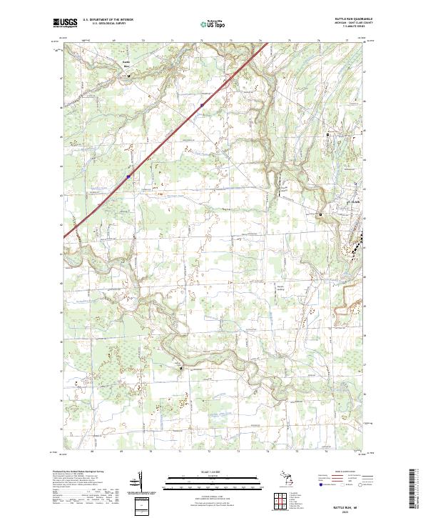
2023 Map of Rattle Run
USGS Topo · Published 2023About this map
St. Clair serves as the eastern anchor for this modern topographical study, situated at the confluence of the Pine River and Jordan Creek. The landscape transitions from the urbanized riverfront into a dense network of agricultural drains and creeks that define the local hydrology, including the Barringer Drain, Hextell Drain, and Schneider China Drain. The small settlement of Rattle Run sits in the northwest, near the Rattle Run Cem, reflecting the area's rural heritage.
Find a feature on this map
94 named features on this map. Tap any name to fly to it.
Don’t see what you’re looking for? This feature index may not catch every label — zoom into the map to look around manually.
Map Details
Editions of this 2023 Rattle Run Map
This is the sole edition of this map. No revisions or reprints were ever made.
Other maps of this area

1912 · Port Huron
USGS Topo · 1:62,500

1914 · Algonac
USGS Topo · 1:62,500

1928 · Hicky
USGS Topo · 1:62,500

1929 · Port Huron
USGS Topo · 1:62,500

1936 · St. Clair
USGS Topo · 1:31,680

1936 · Rattle Run
USGS Topo · 1:31,680

1936 · New Baltimore
USGS Topo · 1:31,680

1939 · New Baltimore
USGS Topo · 1:24,000

1939 · Adair
USGS Topo · 1:24,000

1939 · Port Huron
USGS Topo · 1:24,000
Featured Places
- Saint Clair, MI
- Columbus Township, MI
- Casco Township, MI
- China Charter Township, MI
- St. Clair Township, MI