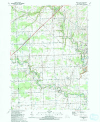
1991 Map of Rattle Run
USGS Topo · Published 1991About this map
The meandering Belle River defines the landscape of St. Clair County, Michigan, in the early 1990s, flanked by the historic milling site of Belle River Mills (Radike Mills). The area shows a transition between traditional agriculture and modern resource extraction, evidenced by the Adair Oil Field and numerous gas and brine wells scattered across the terrain. Local history is anchored by rural landmarks like St Marys Ch and several community schools, including East China Sch and Gearing Sch.
Find a feature on this map
55 named features on this map. Tap any name to fly to it.
Don’t see what you’re looking for? This feature index may not catch every label — zoom into the map to look around manually.
Map Details
Editions of this 1991 Rattle Run Map
This is the sole edition of this map. No revisions or reprints were ever made.
Other maps of this area

1912 · Port Huron
USGS Topo · 1:62,500

1914 · Algonac
USGS Topo · 1:62,500

1928 · Hicky
USGS Topo · 1:62,500

1929 · Port Huron
USGS Topo · 1:62,500

1936 · St. Clair
USGS Topo · 1:31,680

1936 · Rattle Run
USGS Topo · 1:31,680

1936 · New Baltimore
USGS Topo · 1:31,680

1939 · New Baltimore
USGS Topo · 1:24,000

1939 · Adair
USGS Topo · 1:24,000

1939 · Port Huron
USGS Topo · 1:24,000
Featured Places
- Saint Clair, MI
- Columbus Township, MI
- East China Charter Township, MI
- Casco Township, MI
- China Charter Township, MI