
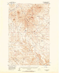
1956 Map of Rattlesnake
USGS Topo · Published 1957About this map
The Bearpaw Mountains dominate this mid-century landscape in Blaine County, characterized by a series of prominent summits including Black Butte, Taylor Butte, and Johnson Butte. This 1950s survey captures the region's ranching and water management patterns, visible through the network of high benches like Runyan Bench and TU Bench, and small water catchments such as the Four O'Clock Reservoir. The presence of the Rattlesnake Sch serves as a lone marker of local community life amidst the high-elevation terrain.
Find a feature on this map
44 named features on this map. Tap any name to fly to it.
Don’t see what you’re looking for? This feature index may not catch every label — zoom into the map to look around manually.
Map Details
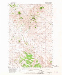
Editions of this 1956 Rattlesnake Map
3 editions found
Other maps of this area

1943 · Landusky
USGS Topo · 1:125,000

1953 · Havre
USGS Topo · 1:250,000

1954 · Lewistown
USGS Topo · 1:250,000

1956 · Maddux
USGS Topo · 1:62,500

1956 · Lloyd
USGS Topo · 1:62,500

1956 · Cleveland
USGS Topo · 1:62,500

1957 · Havre
USGS Topo · 1:250,000

1958 · Havre
USGS Topo · 1:250,000

1959 · Lewistown
USGS Topo · 1:250,000

1971 · Putnam Lake
USGS Topo · 1:24,000