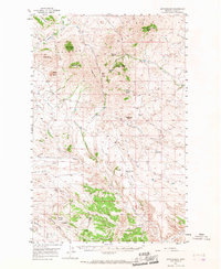
1956 Map of Rattlesnake
USGS Topo · Published 1967About this map
The Bearpaw Mountains dominate this northern Montana landscape, where dramatic volcanic buttes rise above a network of benches and coulees in Blaine County. Settled ranching life in the mid-1950s is concentrated near small outposts like Rattlesnake and Hedges, with the Rattlesnake Sch serving as a local landmark along the high ground of Cromley Bench. The terrain transitions from the heights of Black Butte and Taylor Butte in the northwest toward the arid expanse of the Wilson Desert in the east.
Find a feature on this map
44 named features on this map. Tap any name to fly to it.
Don’t see what you’re looking for? This feature index may not catch every label — zoom into the map to look around manually.
Map Details
Editions of this 1956 Rattlesnake Map
3 editions found
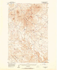
Other maps of this area

1943 · Landusky
USGS Topo · 1:125,000

1953 · Havre
USGS Topo · 1:250,000

1954 · Lewistown
USGS Topo · 1:250,000

1956 · Maddux
USGS Topo · 1:62,500

1956 · Rattlesnake
USGS Topo · 1:62,500

1956 · Lloyd
USGS Topo · 1:62,500

1956 · Cleveland
USGS Topo · 1:62,500

1957 · Havre
USGS Topo · 1:250,000

1958 · Havre
USGS Topo · 1:250,000

1959 · Lewistown
USGS Topo · 1:250,000