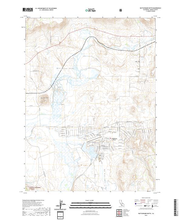
2021 Map of Rattlesnake Butte
USGS Topo · Published 2021About this map
California Pines serves as the primary residential development in this portion of the Pit River basin, centered around the California Pines Airport and several engineered water bodies. The landscape transitions from the residential street grid of N West St and Centerville Rd into the expansive wetlands and meadows of Warm Springs Valley. This area is defined by a sophisticated system of water management, visible through the placement of Donovan Reservoir, McBrien Reservoir, and Kelly Reservoir, which support the high-altitude ranching and forest operations of the region.
Find a feature on this map
92 named features on this map. Tap any name to fly to it.
Don’t see what you’re looking for? This feature index may not catch every label — zoom into the map to look around manually.
Map Details
Editions of this 2021 Rattlesnake Butte Map
This is the sole edition of this map. No revisions or reprints were ever made.
Other maps of this area

1886 · Alturas
USGS Topo · 1:250,000

1892 · Alturas
USGS Topo · 1:250,000

1954 · Alturas
USGS Topo · 1:250,000

1958 · Alturas
USGS Topo · 1:250,000

1961 · Canby
USGS Topo · 1:62,500

1961 · Alturas
USGS Topo · 1:62,500

1962 · Alturas
USGS Topo · 1:250,000

1962 · Big Sage Reservoir
USGS Topo · 1:62,500

1962 · Jacks Butte
USGS Topo · 1:62,500

1965 · Alturas
USGS Topo · 1:250,000