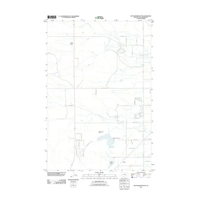
2011 Map of Rattlesnake Butte
USGS Topo · Published 2011About this map
Rattlesnake Butte stands as the central landmark in this high-plains landscape north of the Yellowstone River valley. In the early 21st century, the area around the small settlement of Cline shows a transition from open range to rural residential development, particularly along the eastern edge where roads like Lone Tree Trl and Horseman Way appear. Water management is a defining characteristic of this arid terrain, with Rattlesnake Reservoir and smaller structures like Charter Number 1 Dam providing critical storage. The drainage network is clearly defined by the winding paths of Crooked Creek, Twelve Mile Creek, and Sevenmile Creek. This survey captures the region as long-established ranch roads, such as Shepherd Acton Rd, meet modern subdivisions and local landmarks like the Retriever Number 1 Dam.
Find a feature on this map
49 named features on this map. Tap any name to fly to it.
Don’t see what you’re looking for? This feature index may not catch every label — zoom into the map to look around manually.
Map Details
Editions of this 2011 Rattlesnake Butte Map
This is the sole edition of this map. No revisions or reprints were ever made.
Other maps of this area

1893 · Huntley
USGS Topo · 1:125,000

1954 · Billings
USGS Topo · 1:250,000

1954 · Roundup
USGS Topo · 1:250,000

1956 · Rattlesnake Butte
USGS Topo · 1:24,000

1956 · Hickson Ranch
USGS Topo · 1:24,000

1956 · Huntley
USGS Topo · 1:24,000

1956 · Billings East
USGS Topo · 1:24,000

1957 · Billings
USGS Topo · 1:250,000

1957 · Billings West
USGS Topo · 1:24,000

1958 · Billings
USGS Topo · 1:250,000