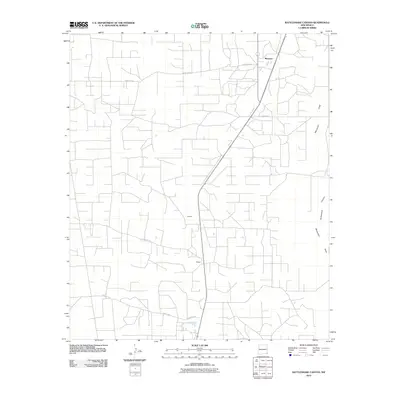
2010 Map of Rattlesnake Canyon
USGS Topo · Published 2010About this map
Maypens and its surrounding high desert landscape are defined by a geometric grid of rural roads and infrastructure in this early 21st-century record. The geography is marked by the distinct passage of Monument Draw and Rattlesnake Canyon on the eastern edge of the quadrangle, features that provide a rare break in the flat terrain of the Llano Estacado. Small, localized settlements such as Johnson and Teague are situated along the primary north-south corridor, reflecting the dispersed nature of habitation and industry in this part of Lea County.
Find a feature on this map
10 named features on this map. Tap any name to fly to it.
Don’t see what you’re looking for? This feature index may not catch every label — zoom into the map to look around manually.
Map Details
Editions of this 2010 Rattlesnake Canyon Map
This is the sole edition of this map. No revisions or reprints were ever made.
Other maps of this area

1954 · Hobbs
USGS Topo · 1:250,000

1958 · Hobbs
USGS Topo · 1:250,000

1963 · Oil Center
USGS Topo · 1:62,500

1969 · Jal NE
USGS Topo · 1:24,000

1969 · Eunice
USGS Topo · 1:24,000

1969 · Eunice NE
USGS Topo · 1:24,000

1969 · Eunice SE
USGS Topo · 1:24,000

1969 · Jal NW
USGS Topo · 1:24,000

1969 · Rattlesnake Canyon
USGS Topo · 1:24,000

1973 · Custer Mountain
USGS Topo · 1:24,000