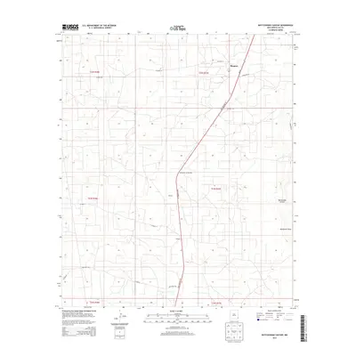
2013 Map of Rattlesnake Canyon
USGS Topo · Published 2013About this map
Monument Jal Oil Field dominates the central landscape of this Lea County region, reflecting the enduring significance of petroleum extraction in the Permian Basin. This 2013 survey documents the industrial footprint of the energy sector alongside the ephemeral natural features of the High Plains. The namesake Rattlesnake Canyon and the winding Monument Draw provide the primary topographical relief in an otherwise flat, arid expanse. Small settlements and crossroads such as Maypens and Teague are situated along the transit corridor of State Highway 18, which serves as the primary north-south artery for the area. The map's grid of section lines and gravel roads, including Deep Wells Rd and Drinkard Rd, highlights the intersection of private land use and resource management in southeast New Mexico.
Find a feature on this map
20 named features on this map. Tap any name to fly to it.
Don’t see what you’re looking for? This feature index may not catch every label — zoom into the map to look around manually.
Map Details
Editions of this 2013 Rattlesnake Canyon Map
This is the sole edition of this map. No revisions or reprints were ever made.
Other maps of this area

1954 · Hobbs
USGS Topo · 1:250,000

1958 · Hobbs
USGS Topo · 1:250,000

1963 · Oil Center
USGS Topo · 1:62,500

1969 · Jal NE
USGS Topo · 1:24,000

1969 · Eunice
USGS Topo · 1:24,000

1969 · Eunice NE
USGS Topo · 1:24,000

1969 · Eunice SE
USGS Topo · 1:24,000

1969 · Jal NW
USGS Topo · 1:24,000

1969 · Rattlesnake Canyon
USGS Topo · 1:24,000

1973 · Custer Mountain
USGS Topo · 1:24,000