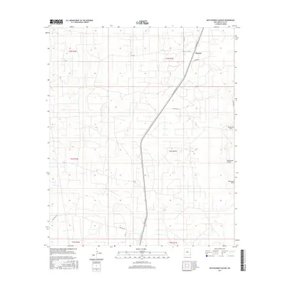
2017 Map of Rattlesnake Canyon
USGS Topo · Published 2017About this map
Maypens sits at the northern edge of this high-desert landscape in southeastern New Mexico, where the grid of oil-field access roads and section lines defines the modern geography. The terrain is marked by significant natural drainages including the namesake Rattlesnake Canyon and Monument Draw, which cut through the arid plains. Transport and industry are central to the layout of the land, evidenced by the thoroughfare of N Dal-Paso St and numerous local routes such as Deep Wells Rd, Anadarko Ln, and Drinkard Rd. These labels reflect the area's deep ties to petroleum extraction and ranching. The map's detailed topography reveals the subtle shifts in elevation across township lines like t22s r37e and t23s r37e, documenting the infrastructure required to navigate and manage this resource-rich corner of Lea County.
Find a feature on this map
20 named features on this map. Tap any name to fly to it.
Don’t see what you’re looking for? This feature index may not catch every label — zoom into the map to look around manually.
Map Details
Editions of this 2017 Rattlesnake Canyon Map
This is the sole edition of this map. No revisions or reprints were ever made.
Other maps of this area

1954 · Hobbs
USGS Topo · 1:250,000

1958 · Hobbs
USGS Topo · 1:250,000

1963 · Oil Center
USGS Topo · 1:62,500

1969 · Jal NE
USGS Topo · 1:24,000

1969 · Eunice
USGS Topo · 1:24,000

1969 · Eunice NE
USGS Topo · 1:24,000

1969 · Eunice SE
USGS Topo · 1:24,000

1969 · Jal NW
USGS Topo · 1:24,000

1969 · Rattlesnake Canyon
USGS Topo · 1:24,000

1973 · Custer Mountain
USGS Topo · 1:24,000