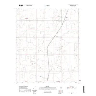
2023 Map of Rattlesnake Canyon
USGS Topo · Published 2023About this map
Maypens sits along the northern edge of this high plains landscape in Lea County, defined by a network of oil-related infrastructure and local roads. The terrain is marked by the eponymous Rattlesnake Canyon and the winding course of Monument Draw, which cut through the open land east of the prominent N Dal-Paso St. This 2023 survey illustrates the modern development of New Mexico's energy corridor, where roads like Anadarko Ln and Red Raiders Ln serve a landscape organized by the Public Land Survey System. The grid of township and range lines, such as t22s r37e, provides a framework for tracing property boundaries and the evolution of the local road system from King Rd down to Deep Wells Rd.
Find a feature on this map
21 named features on this map. Tap any name to fly to it.
Don’t see what you’re looking for? This feature index may not catch every label — zoom into the map to look around manually.
Map Details
Editions of this 2023 Rattlesnake Canyon Map
This is the sole edition of this map. No revisions or reprints were ever made.
Other maps of this area

1954 · Hobbs
USGS Topo · 1:250,000

1958 · Hobbs
USGS Topo · 1:250,000

1963 · Oil Center
USGS Topo · 1:62,500

1969 · Jal NE
USGS Topo · 1:24,000

1969 · Eunice
USGS Topo · 1:24,000

1969 · Eunice NE
USGS Topo · 1:24,000

1969 · Eunice SE
USGS Topo · 1:24,000

1969 · Jal NW
USGS Topo · 1:24,000

1969 · Rattlesnake Canyon
USGS Topo · 1:24,000

1973 · Custer Mountain
USGS Topo · 1:24,000