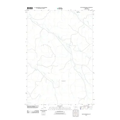
2011 Map of Rattlesnake Hill
USGS Topo · Published 2011About this map
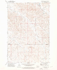
Rattlesnake Hill rises as a central landmark in this portion of Powder River County, overseeing a landscape defined by an intricate network of drainage systems. The topography is shaped by the winding paths of Corral Creek and its tributary Little Corral Creek, which converge as they move through the territory. To the north, the L Krutzfeldt Number 2 Dam on Spring Creek indicates local water management and ranching infrastructure, a critical element in this part of Montana. The drainage patterns of Horse Creek and Cross S Creek further illustrate the watershed's complexity, providing a detailed look at the rural land use and hydraulic features of the early twenty-first century.
Find a feature on this map
7 named features on this map. Tap any name to fly to it.
Don’t see what you’re looking for? This feature index may not catch every label — zoom into the map to look around manually.
Map Details
Editions of this 2011 Rattlesnake Hill Map
This is the sole edition of this map. No revisions or reprints were ever made.
Other maps of this area

1954 · Ekalaka
USGS Topo · 1:250,000

1956 · Ekalaka
USGS Topo · 1:250,000

1958 · Ekalaka
USGS Topo · 1:250,000

1965 · Ekalaka
USGS Topo · 1:250,000
1973 · Saddle Horse Butte
USGS Topo · 1:24,000
1973 · Maxwell Butte
USGS Topo · 1:24,000

1973 · Cross S School
USGS Topo · 1:24,000
1973 · Witcher Reservoir
USGS Topo · 1:24,000
1973 · Rattlesnake Hill
USGS Topo · 1:24,000
1973 · Johnnie Creek
USGS Topo · 1:24,000