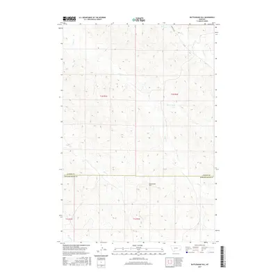
2017 Map of Rattlesnake Hill
USGS Topo · Published 2017About this map
Rattlesnake Hill rises as a prominent landmark within this high plains landscape along the border of Custer and Powder River Counties. The map documents a sparsely populated ranching region defined by an intricate network of drainage systems, including Corral Cr and its tributary Little Corral Cr. Transportation is limited to a handful of gravel routes such as Powderville Rd and Rd 552, which trace the higher ground above the creek beds. The drainage patterns of Horse Cr and Spring Cr illustrate the subtle, rugged topography typical of this part of southeastern Montana, where life and movement are dictated by the seasonal flow of water and the accessibility of the remote range.
Find a feature on this map
12 named features on this map. Tap any name to fly to it.
Don’t see what you’re looking for? This feature index may not catch every label — zoom into the map to look around manually.
Map Details
Editions of this 2017 Rattlesnake Hill Map
This is the sole edition of this map. No revisions or reprints were ever made.
Other maps of this area

1954 · Ekalaka
USGS Topo · 1:250,000

1956 · Ekalaka
USGS Topo · 1:250,000

1958 · Ekalaka
USGS Topo · 1:250,000

1965 · Ekalaka
USGS Topo · 1:250,000
1973 · Saddle Horse Butte
USGS Topo · 1:24,000
1973 · Maxwell Butte
USGS Topo · 1:24,000

1973 · Cross S School
USGS Topo · 1:24,000
1973 · Witcher Reservoir
USGS Topo · 1:24,000
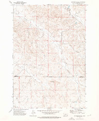
1973 · Rattlesnake Hill
USGS Topo · 1:24,000
1973 · Johnnie Creek
USGS Topo · 1:24,000