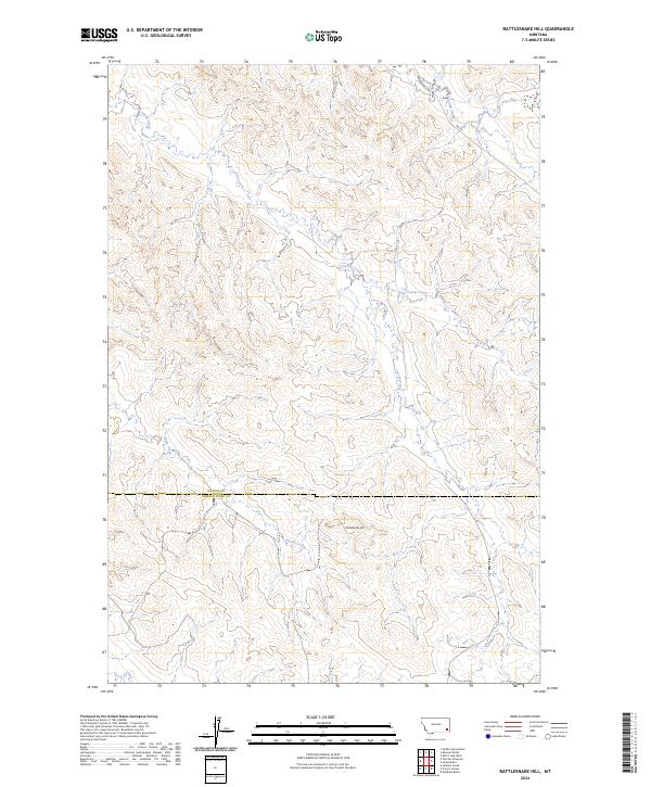
2024 Map of Rattlesnake Hill
USGS Topo · Published 2024About this map
The county line between Custer and Powder River Counties bisects this section of Southeast Montana, where the eponymous Rattlesnake Hill rises as a prominent landmark. The area is defined by a dendritic drainage network of seasonal streams, including the north-flowing Corral Creek and Little Corral Creek, which carve through the high plains landscape. Human impact is sparse, primarily marked by the presence of Powderville Rd and Rd 552 in the northeast, reflecting the region's ranching infrastructure. This 2024 survey documents the enduring topography of the high plains, where water sources like Horse Creek and Spring Creek dictate the layout of boundaries and rural transit routes through the township and range system.
Find a feature on this map
12 named features on this map. Tap any name to fly to it.
Don’t see what you’re looking for? This feature index may not catch every label — zoom into the map to look around manually.
Map Details
Editions of this 2024 Rattlesnake Hill Map
This is the sole edition of this map. No revisions or reprints were ever made.
Other maps of this area

1954 · Ekalaka
USGS Topo · 1:250,000

1956 · Ekalaka
USGS Topo · 1:250,000

1958 · Ekalaka
USGS Topo · 1:250,000

1965 · Ekalaka
USGS Topo · 1:250,000
1973 · Saddle Horse Butte
USGS Topo · 1:24,000
1973 · Maxwell Butte
USGS Topo · 1:24,000

1973 · Cross S School
USGS Topo · 1:24,000
1973 · Witcher Reservoir
USGS Topo · 1:24,000
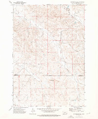
1973 · Rattlesnake Hill
USGS Topo · 1:24,000
1973 · Johnnie Creek
USGS Topo · 1:24,000