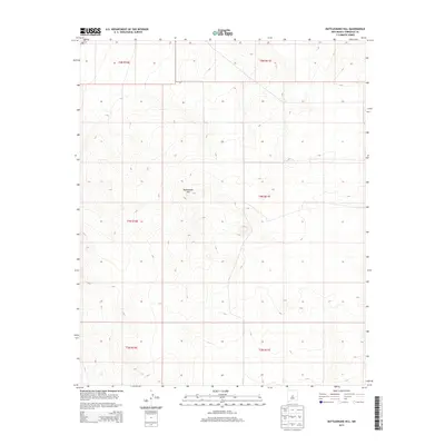
2013 Map of Rattlesnake Hill
USGS Topo · Published 2013About this map
Rattlesnake Hill serves as the central topographic landmark within this high-desert landscape of central New Mexico. The terrain is defined by the precise sectional divisions of the Public Land Survey System, spanning township boundaries from t5n r10e and t5n r11e in the north down through t3n r10e and t3n r11e at the southern edge. This 2013 survey provides a clear view of the natural contours and drainage patterns that characterize this portion of the Estancia Basin, where elevation changes are marked by subtle ridges and expansive flats rather than dense settlement. The absence of named roads or towns underscores the isolated, open-range character of this region east of the Manzano Mountains.
Find a feature on this map
7 named features on this map. Tap any name to fly to it.
Don’t see what you’re looking for? This feature index may not catch every label — zoom into the map to look around manually.
Map Details
Editions of this 2013 Rattlesnake Hill Map
This is the sole edition of this map. No revisions or reprints were ever made.
Other maps of this area

1954 · Fort Sumner
USGS Topo · 1:250,000

1958 · Fort Sumner
USGS Topo · 1:250,000

1978 · Laguna Del Perro North
USGS Topo · 1:24,000

1978 · Negra SW
USGS Topo · 1:24,000

1978 · Pedernal
USGS Topo · 1:24,000

1978 · Laguna Del Perro South
USGS Topo · 1:24,000

1978 · Lucy
USGS Topo · 1:24,000

1978 · Rattlesnake Hill
USGS Topo · 1:24,000

1980 · Corona
USGS Topo · 1:100,000

1981 · Progresso NE
USGS Topo · 1:24,000