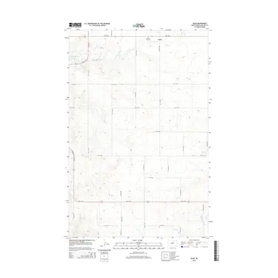
2014 Map of Raub
USGS Topo · Published 2014About this map
Raub is situated in the north-central portion of this landscape, a small settlement located just south of the McLean County line. The local community center is anchored by the Queen of Peace Cem, serving as a primary point of interest for genealogical research in this part of North Dakota. To the west, the expansive waters of Lake Sakakawea dominate the topography, where the shoreline is carved by the mouth of Deepwater Creek. The interior terrain is defined by a rigid grid of agricultural section roads, including 71st Ave NW and 23rd St NW, which traverse the high ground between drainage systems like Buffalo Rock Coulee and Sixmile Cr. This 2014 survey documents a classic Great Plains layout, where modern infrastructure follows the township and range lines established over a century ago, preserving the spatial organization of the rural farming economy.
Find a feature on this map
23 named features on this map. Tap any name to fly to it.
Don’t see what you’re looking for? This feature index may not catch every label — zoom into the map to look around manually.
Map Details
Editions of this 2014 Raub Map
This is the sole edition of this map. No revisions or reprints were ever made.
Other maps of this area

1953 · Watford City
USGS Topo · 1:250,000

1954 · McClusky
USGS Topo · 1:250,000

1956 · Makoti SW
USGS Topo · 1:24,000

1956 · Blackwater Lake NW
USGS Topo · 1:24,000

1957 · Watford City
USGS Topo · 1:250,000

1958 · McClusky
USGS Topo · 1:250,000

1967 · Watford City
USGS Topo · 1:250,000

1967 · Raub SE
USGS Topo · 1:24,000

1967 · Raub NW
USGS Topo · 1:24,000

1967 · Raub
USGS Topo · 1:24,000