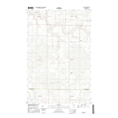
2016 Map of Rauch
USGS Topo · Published 2016About this map
Rauch sits at a remote crossroads in northern Minnesota, marking a landscape defined by the winding paths of the Little Fork River and the Valley River. This 2016 survey documents the rural character of the borderlands between Koochiching and Itasca counties. The area is characterized by vast wetlands and timberland, accessed primarily by county roads like Co Hwy 75 and forest routes such as Valley River Forest Rd. For local historians and genealogists, the map identifies significant local landmarks including Silverdale Cem near the northern edge and Saints Peter and Paul Cem further south. The drainage patterns of Prairie Cr and the larger river systems illustrate the natural hydrology that has long dictated movement and settlement in this North Woods region.
Find a feature on this map
25 named features on this map. Tap any name to fly to it.
Don’t see what you’re looking for? This feature index may not catch every label — zoom into the map to look around manually.
Map Details
Editions of this 2016 Rauch Map
This is the sole edition of this map. No revisions or reprints were ever made.
Other maps of this area

1954 · Hibbing
USGS Topo · 1:250,000

1954 · International Falls
USGS Topo · 1:250,000

1957 · Hibbing
USGS Topo · 1:250,000

1957 · International Falls
USGS Topo · 1:250,000

1958 · International Falls
USGS Topo · 1:250,000

1958 · Hibbing
USGS Topo · 1:250,000

1964 · Hibbing
USGS Topo · 1:250,000

1969 · Nett Lake
USGS Topo · 1:24,000

1970 · Rauch
USGS Topo · 1:24,000

1970 · Nett Lake River SE
USGS Topo · 1:24,000