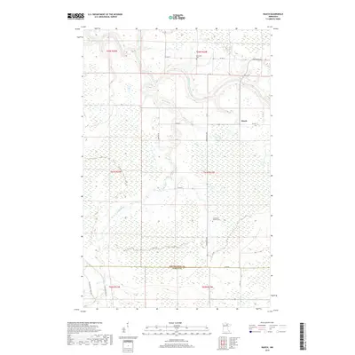
2019 Map of Rauch
USGS Topo · Published 2019About this map
The Little Fork River meanders through this portion of the Northwoods, marking a landscape defined by its wetlands and watercourses. Small community hubs like Rauch are connected by a network of rural roads and logging routes, including Industrial Ave and Co Hwy 75. The map provides specific points of interest for genealogists, such as the Silverdale Cem in the northern townships and the Saints Peter and Paul Cem further south.
Find a feature on this map
27 named features on this map. Tap any name to fly to it.
Don’t see what you’re looking for? This feature index may not catch every label — zoom into the map to look around manually.
Map Details
Editions of this 2019 Rauch Map
This is the sole edition of this map. No revisions or reprints were ever made.
Other maps of this area

1954 · Hibbing
USGS Topo · 1:250,000

1954 · International Falls
USGS Topo · 1:250,000

1957 · Hibbing
USGS Topo · 1:250,000

1957 · International Falls
USGS Topo · 1:250,000

1958 · International Falls
USGS Topo · 1:250,000

1958 · Hibbing
USGS Topo · 1:250,000

1964 · Hibbing
USGS Topo · 1:250,000

1969 · Nett Lake
USGS Topo · 1:24,000

1970 · Rauch
USGS Topo · 1:24,000

1970 · Nett Lake River SE
USGS Topo · 1:24,000