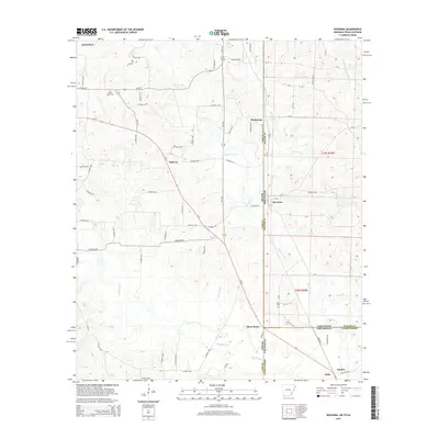
2014 Map of Ravanna
USGS Topo · Published 2014About this map
The tri-state convergence of Texas, Arkansas, and Louisiana serves as the focal point for this landscape, where the settlement of Three States marks the literal junction of these geographic borders. This rural corridor is defined by its complex network of waterways, including the winding Black Bayou and several aptly named creeks such as Line Cr and State Line Cr. The map illustrates the distribution of small communities like Ravanna, Smyrna, and Hammons, which are connected by a web of county roads and TX-77. For those researching local history, the placement of the Beech Creek Cem near Atlanta and the Brown Cem further south provides concrete points of reference for tracing family lineages across these state lines. The drainage patterns of Bull Cr and Capps Br reveal the low-lying character of this timbered and creek-cut terrain.
Find a feature on this map
82 named features on this map. Tap any name to fly to it.
Don’t see what you’re looking for? This feature index may not catch every label — zoom into the map to look around manually.
Map Details
Editions of this 2014 Ravanna Map
This is the sole edition of this map. No revisions or reprints were ever made.
Other maps of this area

1907 · Atlanta
USGS Topo · 1:62,500

1910 · Atlanta
USGS Topo · 1:62,500

1932 · Hosston NW
USGS Topo · 1:31,680

1944 · Kildare
USGS Topo · 1:62,500

1948 · Kildare
USGS Topo · 1:62,500

1948 · Vivian
USGS Topo · 1:62,500

1952 · Doddridge NW
USGS Topo · 1:24,000

1952 · Doddridge
USGS Topo · 1:24,000

1953 · Texarkana
USGS Topo · 1:250,000

1953 · El Dorado
USGS Topo · 1:250,000