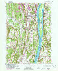
1953 Map of Ravena
USGS Topo · Published 1981About this map
The Hudson River serves as the central artery for this riverfront corridor, where the riverside villages of Coeymans, Ravena, and New Baltimore developed alongside the deep-water channel. This 1953 survey, updated with 1980 revisions, captures the complex landscape of tidal islands including Houghtaling Island, Schodack Island, and Bronck Island, many of which were used for agriculture or navigation aids like the Coeymans Lighthouse. The presence of numerous family burial grounds such as Waldron Cem, Requa Cem, and the Lish Homestead Cem reflects the long-standing agrarian roots of the area.
Find a feature on this map
56 named features on this map. Tap any name to fly to it.
Don’t see what you’re looking for? This feature index may not catch every label — zoom into the map to look around manually.
Map Details
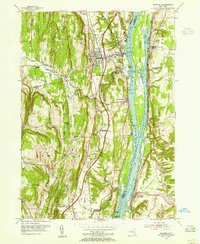
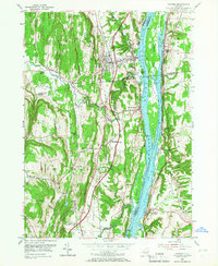
Editions of this 1953 Ravena Map
3 editions found
Other maps of this area

1893 · Troy
USGS Topo · 1:62,500

1893 · Coxsackie
USGS Topo · 1:62,500

1893 · Albany
USGS Topo · 1:62,500

1894 · Coxsackie
USGS Topo · 1:62,500

1895 · Troy
USGS Topo · 1:62,500

1895 · Albany
USGS Topo · 1:62,500

1898 · Albany
USGS Topo · 1:62,500

1898 · Troy
USGS Topo · 1:62,500

1903 · Kinderhook
USGS Topo · 1:62,500

1925 · Troy
USGS Topo · 1:48,000