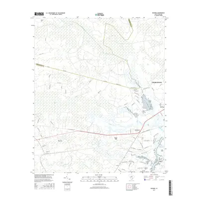
2017 Map of Ravenel
USGS Topo · Published 2017About this map
Caw Caw Swamp and Horse Savanna dominate the low-lying interior of this coastal South Carolina landscape, where the historical drainage patterns of Fishburne Cr and Wallace Cr define the settlement boundaries. The map marks a significant cultural site at the Tomb of Colonel William Washington, reflecting the area's deep ties to the American Revolutionary era. Connectivity is centered on the corridor between Ravenel and Rantowles, where modern transit routes follow the general path of the legacy Railroad Ave.
Find a feature on this map
75 named features on this map. Tap any name to fly to it.
Don’t see what you’re looking for? This feature index may not catch every label — zoom into the map to look around manually.
Map Details
Editions of this 2017 Ravenel Map
This is the sole edition of this map. No revisions or reprints were ever made.
Other maps of this area

1918 · Cottageville
USGS Topo · 1:62,500

1919 · Ladson
USGS Topo · 1:21,120

1919 · Johns Island
USGS Topo · 1:21,120

1919 · Edisto Island
USGS Topo · 1:62,500

1919 · Wadmelaw Island
USGS Topo · 1:62,500

1919 · Legareville
USGS Topo · 1:21,120

1920 · Ravenels
USGS Topo · 1:62,500

1943 · Cottageville
USGS Topo · 1:62,500

1943 · Legareville
USGS Topo · 1:24,000

1943 · Edisto Island
USGS Topo · 1:62,500