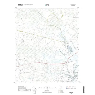
2020 Map of Ravenel
USGS Topo · Published 2020About this map
Ravenel and Hollywood serve as the primary hubs in this Lowcountry landscape, where the transition from dense wetlands to residential development is clearly defined. The terrain is dominated by a complex network of freshwater systems, including Bear Swamp and Horse Savanna, which drain into several named watercourses like Wallace Creek and the Mellichamp Branch. These natural features have historically dictated the placement of settlements and transport routes, such as the Intracoastal Waterway along the eastern edge near Johns Island.
Find a feature on this map
86 named features on this map. Tap any name to fly to it.
Don’t see what you’re looking for? This feature index may not catch every label — zoom into the map to look around manually.
Map Details
Editions of this 2020 Ravenel Map
This is the sole edition of this map. No revisions or reprints were ever made.
Other maps of this area

1918 · Cottageville
USGS Topo · 1:62,500

1919 · Ladson
USGS Topo · 1:21,120

1919 · Johns Island
USGS Topo · 1:21,120

1919 · Edisto Island
USGS Topo · 1:62,500

1919 · Wadmelaw Island
USGS Topo · 1:62,500

1919 · Legareville
USGS Topo · 1:21,120

1920 · Ravenels
USGS Topo · 1:62,500

1943 · Cottageville
USGS Topo · 1:62,500

1943 · Legareville
USGS Topo · 1:24,000

1943 · Edisto Island
USGS Topo · 1:62,500