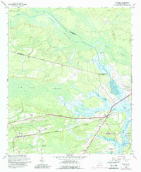
2024 Map of Ravenel
USGS Topo · Published 2024About this map
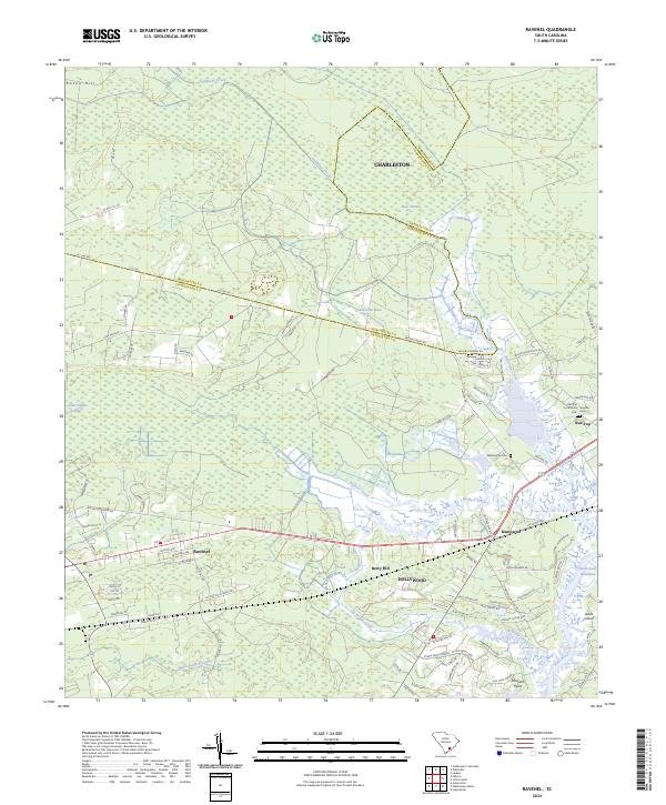
The Lowcountry landscape of Charleston County is defined by a complex network of wetlands and tidal waters, including the Stono River and the Intracoastal Waterway in the southeast. This 2024 survey captures the interface of established settlements like Ravenel and Hollywood with significant environmental features such as Bear Swamp, Horse Savanna, and Caw Caw Swamp. Historically minded researchers can find the locations of several burial grounds, including Washington Cemetery and the Red Top Community Cemetery, which provide vital genealogical links for local families. The mapping of Rantowles and Red Top shows the modern road network overlaying older plantation-era footprints, evidenced by names like Bulow Plantation Road. This transition from the forested reaches of Raven Hill to the developed tracts near Johns Island illustrates the ongoing evolution of these South Carolina coastal communities.
Find a feature on this map
83 named features on this map. Tap any name to fly to it.
Don’t see what you’re looking for? This feature index may not catch every label — zoom into the map to look around manually.
Map Details
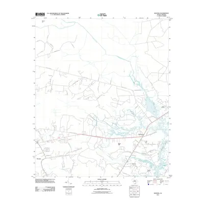
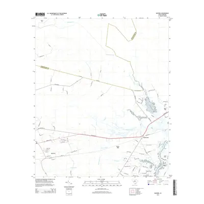
Editions of this 2024 Ravenel Map
This is the sole edition of this map. No revisions or reprints were ever made.
Historical Maps of Charleston Through Time
6 maps found