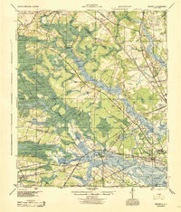
1944 Map of Ravenels
USGS Topo · Published 1944About this map
Old Dorchester and its nearby Old Fort sit prominently on the northern banks of the Ashley River, marking a landscape where colonial history meets World War II-era infrastructure. The map reveals a transition from the agricultural estates and historic sites like Middleton Garden to industrial developments such as Bula Mines and the Ashley Phosphate works. The rail-heavy economy of the 1940s is evident in the convergence of the Southern Railway, Atlantic Coast Line, and Seaboard Air Line, which linked rural settlements like Rantowles and Ladson to the coastal ports.
Find a feature on this map
79 named features on this map. Tap any name to fly to it.
Don’t see what you’re looking for? This feature index may not catch every label — zoom into the map to look around manually.
Map Details
Editions of this 1944 Ravenels Map
This is the sole edition of this map. No revisions or reprints were ever made.
Other maps of this area
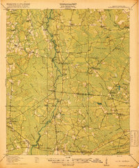
1918 · Cottageville
USGS Topo · 1:62,500

1919 · Ladson
USGS Topo · 1:21,120
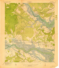
1919 · Johns Island
USGS Topo · 1:21,120

1919 · Summerville
USGS Topo · 1:48,000
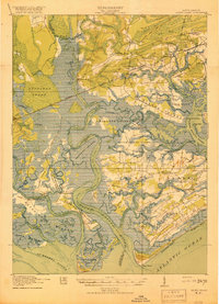
1919 · Edisto Island
USGS Topo · 1:62,500
1919 · Ridgeville
USGS Topo · 1:48,000
1919 · Wadmelaw Island
USGS Topo · 1:62,500
1919 · Cordesville
USGS Topo · 1:48,000
1919 · Melgrove
USGS Topo · 1:21,120
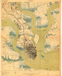
1919 · Charleston
USGS Topo · 1:21,120