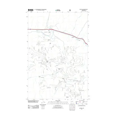
2011 Map of Ravenna
USGS Topo · Published 2011About this map
The Clark Fork river carves a critical corridor through the western Montana mountains, defining the geography of the small settlements at Ravenna and Bonita. This topography is shaped by substantial engineering feats, most notably the Beavertail Tunnel and the Nimrod Tunnels which facilitate passage through the steep river valley. The landscape transitions from the river bottom to high peaks like Strawberry Mountain and Golden Mountain, with numerous saddles and gulches such as Whitetail Saddle and McFarland Gulch branching off the main drainage. Local transportation is anchored by Beavertail Rd and Cramer Creek Rd, which provide access to more remote recreation areas including the Beavertail Hill Campground. The map reveals a complex network of forest roads and small tributaries like Gillispie Creek and North Fork Brewster Creek that drain the high country, highlighting the area's mix of transit-oriented valley life and rugged highland terrain.
Find a feature on this map
40 named features on this map. Tap any name to fly to it.
Don’t see what you’re looking for? This feature index may not catch every label — zoom into the map to look around manually.
Map Details
Editions of this 2011 Ravenna Map
This is the sole edition of this map. No revisions or reprints were ever made.
Other maps of this area

1903 · Bonner
USGS Topo · 1:125,000

1919 · Drummond
USGS Topo · 1:125,000

1921 · Drummond
USGS Topo · 1:125,000

1947 · Butte
USGS Topo · 1:250,000

1958 · Butte
USGS Topo · 1:250,000

1959 · Bearmouth
USGS Topo · 1:62,500

1959 · Ravenna
USGS Topo · 1:62,500

1960 · Butte
USGS Topo · 1:250,000

1962 · Butte
USGS Topo · 1:250,000

1965 · Union Peak
USGS Topo · 1:24,000