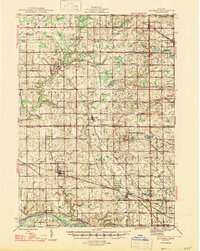
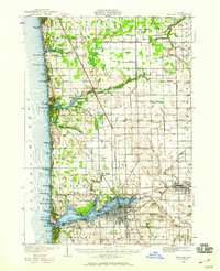
1945 Map of Ravenna
USGS Topo · Published 1947About this map
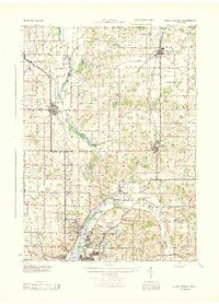
Crockery Creek and its complex network of county drains define this agricultural and rail corridor as it appeared during the mid-1940s. The landscape is a dense grid of rural education and community centers, from the Conklin High Sch and Price Sch to numerous town halls and churches such as St Marys Ch in Marne. Two major rail lines, the Pennsylvania RR and the Pere Marquette RR, intersect this terrain, facilitating the growth of villages like Coopersville and Kent City. Along the southern border, the Grand River passes through Eastmanville and Lamont, while the northern portion is marked by specialized infrastructure like Trunk Line 11. This survey provides an exceptionally detailed look at local genealogy landmarks, including the Moorland Cem and Lisbon Cem, which anchor the small settlements that dotted the Muskegon and Ottawa county line.
Find a feature on this map
87 named features on this map. Tap any name to fly to it.
Don’t see what you’re looking for? This feature index may not catch every label — zoom into the map to look around manually.
Map Details
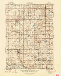
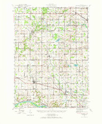
Editions of this 1945 Ravenna Map
3 editions found
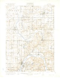
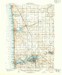
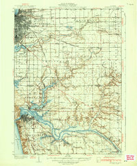
Other maps of this area

1914 · Grand Rapids
USGS Topo · 1:62,500
1918 · Cedar Springs
USGS Topo · 1:62,500
1929 · Holland
USGS Topo · 1:62,500
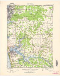
1930 · Muskegon
USGS Topo · 1:62,500
1932 · Holland
USGS Topo · 1:62,500
1936 · Muskegon
USGS Topo · 1:62,500
1943 · Cedar Springs
USGS Topo · 1:62,500

1943 · Grand Rapids
USGS Topo · 1:62,500

1954 · Milwaukee
USGS Topo · 1:250,000

1954 · Midland
USGS Topo · 1:250,000