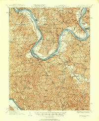
1926 Map of Ravenswood
USGS Topo · Published 1926About this map
The Ohio River carves a dramatic series of horseshoe bends through this 1920s riverine landscape, serving as the primary artery for commerce and the political boundary between West Virginia and Ohio. The river's influence is evident in the placement of settlements like Ravenswood, Letart, and New Haven, as well as the critical navigational infrastructure of Lock No 24 and Lock No 22. Away from the main channel, the interior is defined by a dense network of country schools and churches, such as Martin Chapel and Mountain Flower School, reflecting the scattered rural population centers of Mason and Jackson Counties before modern road consolidation.
Find a feature on this map
133 named features on this map. Tap any name to fly to it.
Don’t see what you’re looking for? This feature index may not catch every label — zoom into the map to look around manually.
Map Details
Editions of this 1926 Ravenswood Map
This is the sole edition of this map. No revisions or reprints were ever made.
Other maps of this area

1906 · Belleville
USGS Topo · 1:62,500
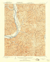
1906 · Glenwood
USGS Topo · 1:62,500
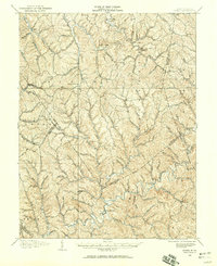
1906 · Kenna
USGS Topo · 1:62,500
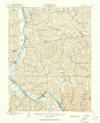
1906 · Winfield
USGS Topo · 1:62,500
1907 · Kenna
USGS Topo · 1:62,500

1907 · Pomeroy
USGS Topo · 1:62,500

1907 · Keno
USGS Topo · 1:62,500

1907 · Ripley
USGS Topo · 1:62,500
1908 · Glenwood
USGS Topo · 1:62,500
1908 · Winfield
USGS Topo · 1:62,500