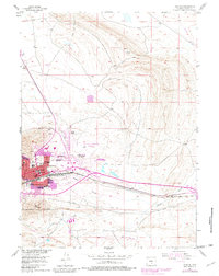
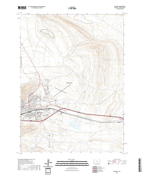
1988 Map of Rawlins
USGS Topo · Published 1988About this map
Rawlins serves as the focal point for this expansive late-century survey of south-central Wyoming, where the Union Pacific railroad corridor traces the historic path of the Overland Trail. The map documents a diverse high-altitude landscape, from the arid expanse of the Great Divide Basin in the west to the towering Medicine Bow Range in the east. Notable infrastructure includes the State Penitentiary near the county seat and the Municipal Airport, supporting a regional economy tied to transport and natural resources.
Find a feature on this map
84 named features on this map. Tap any name to fly to it.
Don’t see what you’re looking for? This feature index may not catch every label — zoom into the map to look around manually.
Map Details
Editions of this 1988 Rawlins Map
This is the sole edition of this map. No revisions or reprints were ever made.
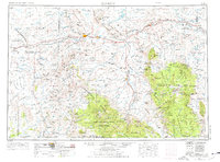
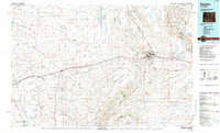
Historical Maps of Rawlins Through Time
8 maps found