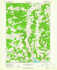
1963 Map of Rawson
USGS Topo · Published 1964About this map
The boundary between Cattaraugus and Allegany counties divides this Western New York landscape, characterized by narrow valleys and significant State Reforestation Area tracts. In the early 1960s, the rural community of Rawson sits central to the map, anchored by the Rawson Ch and surrounded by small settlements like Hardy Corners, Bellville, and Elgin. The southern edge is defined by the recreational and residential development surrounding Cuba Lake, where a Health Camp and the Erie-Lackawanna Railroad follow the historic path of the old Genesee Valley Canal.
Find a feature on this map
55 named features on this map. Tap any name to fly to it.
Don’t see what you’re looking for? This feature index may not catch every label — zoom into the map to look around manually.
Map Details
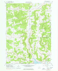
Editions of this 1963 Rawson Map
2 editions found
Other maps of this area

1898 · Olean
USGS Topo · 1:62,500

1906 · Angelica
USGS Topo · 1:62,500

1924 · Franklinville
USGS Topo · 1:62,500

1925 · Belmont
USGS Topo · 1:62,500

1938 · Olean
USGS Topo · 1:62,500

1939 · Belmont
USGS Topo · 1:62,500

1941 · Angelica
USGS Topo · 1:62,500

1942 · Franklinville
USGS Topo · 1:62,500

1943 · Olean
USGS Topo · 1:62,500

1960 · Buffalo
USGS Topo · 1:250,000