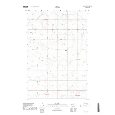
2020 Map of Rawson
USGS Topo · Published 2020About this map
Rawson serves as a central point of reference in this McKenzie County landscape, where the prairie is defined by intermittent drainages and prominent rises. The mapping shows a distributed network of local history markers, particularly through its cemeteries including Alexander Cem, Timber Creek Cem, and Rawson Cem, which offer significant value for genealogical research in this part of North Dakota. The terrain is punctuated by distinctive landforms such as Tub Butte in the northwest and Hay Butte to the east, rising above the winding paths of Lonesome Cr and Antelope Creek. This 2020 survey documents the modern road grid, where long stretches like 140th Ave NW and Co Rd 20 connect isolated homesteads and agricultural tracts across several townships.
Find a feature on this map
36 named features on this map. Tap any name to fly to it.
Don’t see what you’re looking for? This feature index may not catch every label — zoom into the map to look around manually.
Map Details
Editions of this 2020 Rawson Map
This is the sole edition of this map. No revisions or reprints were ever made.
Other maps of this area

1953 · Watford City
USGS Topo · 1:250,000

1957 · Watford City
USGS Topo · 1:250,000

1958 · Stocke Butte
USGS Topo · 1:24,000

1967 · Watford City
USGS Topo · 1:250,000

1972 · Bear Butte
USGS Topo · 1:24,000

1972 · Alexander
USGS Topo · 1:24,000

1972 · Moline School
USGS Topo · 1:24,000

1972 · Rawson
USGS Topo · 1:24,000

1978 · Watford City NW
USGS Topo · 1:24,000

1978 · Arnegard
USGS Topo · 1:24,000