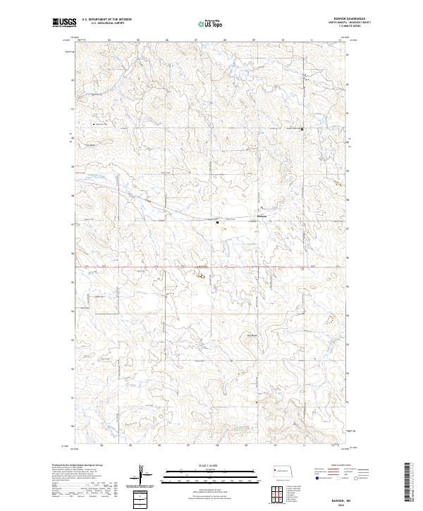
2024 Map of Rawson
USGS Topo · Published 2024About this map
Rawson serves as the central hub of this northern plains landscape, situated along the intersection of 1st Ave W and 28th St NW. The surrounding McKenzie County terrain is defined by its deep drainages and prominent landforms, such as Tub Butte in the northwest and Hay Butte toward the southeast. These natural features rise above a network of waterways including Timber Creek, Lonesome Creek, and Antelope Creek, which carve through the prairie. For genealogists and local historians, the map provides precise locations for three distinct burial sites: Rawson Cem, Alexander Cem, and Timber Creek Cem. The grid-like road system, featuring routes like Co Rd 20 and 140th Ave NW, illustrates the enduring structure of the region's agricultural and township organization.
Find a feature on this map
30 named features on this map. Tap any name to fly to it.
Don’t see what you’re looking for? This feature index may not catch every label — zoom into the map to look around manually.
Map Details
Editions of this 2024 Rawson Map
This is the sole edition of this map. No revisions or reprints were ever made.
Other maps of this area

1953 · Watford City
USGS Topo · 1:250,000

1957 · Watford City
USGS Topo · 1:250,000

1958 · Stocke Butte
USGS Topo · 1:24,000

1967 · Watford City
USGS Topo · 1:250,000

1972 · Bear Butte
USGS Topo · 1:24,000

1972 · Alexander
USGS Topo · 1:24,000

1972 · Moline School
USGS Topo · 1:24,000

1972 · Rawson
USGS Topo · 1:24,000

1978 · Watford City NW
USGS Topo · 1:24,000

1978 · Arnegard
USGS Topo · 1:24,000