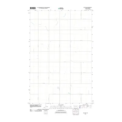
2011 Map of Ray NW
USGS Topo · Published 2011About this map
The Little Muddy River meanders through this section of the High Plains, carving a gentle drainage system across a landscape defined by the rectangular grid of the Public Land Survey System. In the early 21st century, this rural expanse in Williams County remains sparsely populated, with land use primarily structured around a network of section-line roads such as 114th Ave NW and 74th St NW. These corridors facilitate movement between isolated farmsteads and agricultural plots. Larger regional connectors, specifically County Hwy-17 and County Hwy-10, anchor the southern half of the map, providing the primary infrastructure for local transport. The map documents the persistent agricultural character of the North Dakota prairie, where the intermittent flow of the river is the primary natural landmark amidst the highly organized human geometry of the prairie township system.
Find a feature on this map
15 named features on this map. Tap any name to fly to it.
Don’t see what you’re looking for? This feature index may not catch every label — zoom into the map to look around manually.
Map Details
Editions of this 2011 Ray NW Map
This is the sole edition of this map. No revisions or reprints were ever made.
Other maps of this area

1911 · Ray
USGS Topo · 1:125,000

1953 · Williston
USGS Topo · 1:250,000

1957 · Williston
USGS Topo · 1:250,000

1974 · Tom Berg Lake
USGS Topo · 1:24,000

1974 · Big Meadow
USGS Topo · 1:24,000

1978 · Corinth
USGS Topo · 1:24,000

1978 · Ray
USGS Topo · 1:24,000

1978 · Ray SE
USGS Topo · 1:24,000

1978 · Temple
USGS Topo · 1:24,000

1978 · Ray NW
USGS Topo · 1:24,000