
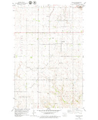
1978 Map of Temple
USGS Topo · Published 1979About this map
Temple serves as the focal point of this Williams County landscape, situated along the tracks of the Burlington Northern railroad in the southern portion of the sheet. The area is defined by the broad expanses of South Meadow and Golden Valley, where the transition from agricultural land to industrial activity is evident through the presence of numerous Gravel Pits and a prominent Pipeline. Local history and genealogy are anchored at the Temple Cem and the Townhall, which provide evidence of the community's civic and social structure during the late 1970s. The map also documents the topography of Lindahl and Tioga, capturing the specific rural layout before further modern development. This survey reveals a landscape of high plains productivity where the rail line was essential for moving local materials and connecting the scattered prairie townships.
Find a feature on this map
12 named features on this map. Tap any name to fly to it.
Don’t see what you’re looking for? This feature index may not catch every label — zoom into the map to look around manually.
Map Details
Editions of this 1978 Temple Map
This is the sole edition of this map. No revisions or reprints were ever made.
Other maps of this area

1911 · Ray
USGS Topo · 1:125,000

1953 · Williston
USGS Topo · 1:250,000

1957 · Williston
USGS Topo · 1:250,000

1974 · Tom Berg Lake
USGS Topo · 1:24,000

1974 · McGregor
USGS Topo · 1:24,000

1974 · Big Meadow
USGS Topo · 1:24,000

1978 · Ray
USGS Topo · 1:24,000

1978 · Ray SE
USGS Topo · 1:24,000

1978 · Ray NW
USGS Topo · 1:24,000
1979 · Tioga SW
USGS Topo · 1:24,000