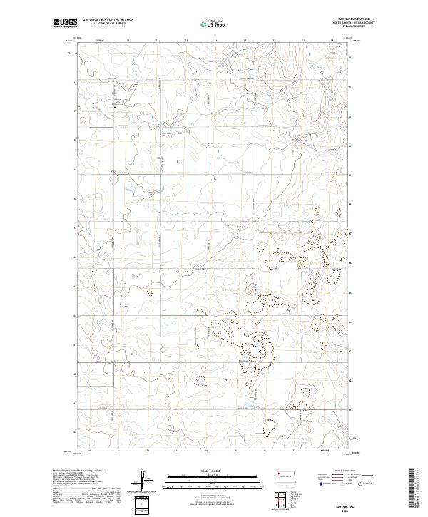
2024 Map of Ray NW
USGS Topo · Published 2024About this map
Little Muddy River meanders through this portion of Williams County, carving a winding path through the northern plains of North Dakota. The landscape is defined by a systematic grid of section lines and gravel roads, including Co Rd 10 and 74th St NW, reflecting the enduring agricultural organization of the region. For those tracing local heritage or family roots, the Rainbow Valley Lutheran Cem stands as a significant landmark in the northwest, serving as a focal point for the surrounding rural community. The map provides a clear view of the drainage patterns and the network of local thoroughfares like 118th Ave NW that connect the remote homesteads and farmsteads scattered across the prairie.
Find a feature on this map
20 named features on this map. Tap any name to fly to it.
Don’t see what you’re looking for? This feature index may not catch every label — zoom into the map to look around manually.
Map Details
Editions of this 2024 Ray NW Map
This is the sole edition of this map. No revisions or reprints were ever made.
Other maps of this area

1911 · Ray
USGS Topo · 1:125,000

1953 · Williston
USGS Topo · 1:250,000

1957 · Williston
USGS Topo · 1:250,000

1974 · Tom Berg Lake
USGS Topo · 1:24,000

1974 · Big Meadow
USGS Topo · 1:24,000

1978 · Corinth
USGS Topo · 1:24,000

1978 · Ray
USGS Topo · 1:24,000

1978 · Ray SE
USGS Topo · 1:24,000

1978 · Temple
USGS Topo · 1:24,000

1978 · Ray NW
USGS Topo · 1:24,000