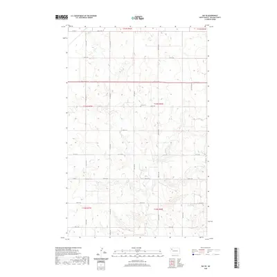
2020 Map of Ray SE
USGS Topo · Published 2020About this map
The German Cem sits as a lonely landmark within the sprawling agricultural grid of southeast Williams County, North Dakota. This section of the Great Plains is defined by a rigorous network of section lines, including 64th St NW and Prairie Rose Ave, which organize the landscape into the Public Land Survey System townships of T155N through T157N. The natural hydrology of Beaver Cr meanders through the lower sections, providing a sharp contrast to the straight-line geometry of the local transit corridors like Co Hwy 17. This 2020 record of the land preserves the modern footprint of rural life in the American north, where the infrastructure of regional travel—marked by routes such as Co Rd 8 and Co Hwy 17 A—interfaces with the intermittent wetlands and prairie drainages that have dictated land use since settlement.
Find a feature on this map
27 named features on this map. Tap any name to fly to it.
Don’t see what you’re looking for? This feature index may not catch every label — zoom into the map to look around manually.
Map Details
Editions of this 2020 Ray SE Map
This is the sole edition of this map. No revisions or reprints were ever made.
Other maps of this area

1911 · Ray
USGS Topo · 1:125,000

1953 · Williston
USGS Topo · 1:250,000

1957 · Williston
USGS Topo · 1:250,000

1965 · Charlson NW
USGS Topo · 1:24,000

1969 · Cussicks Spring
USGS Topo · 1:24,000

1969 · Red Mike Hill
USGS Topo · 1:24,000

1978 · Ray
USGS Topo · 1:24,000

1978 · Ray SE
USGS Topo · 1:24,000

1978 · Temple
USGS Topo · 1:24,000

1978 · Ray NW
USGS Topo · 1:24,000