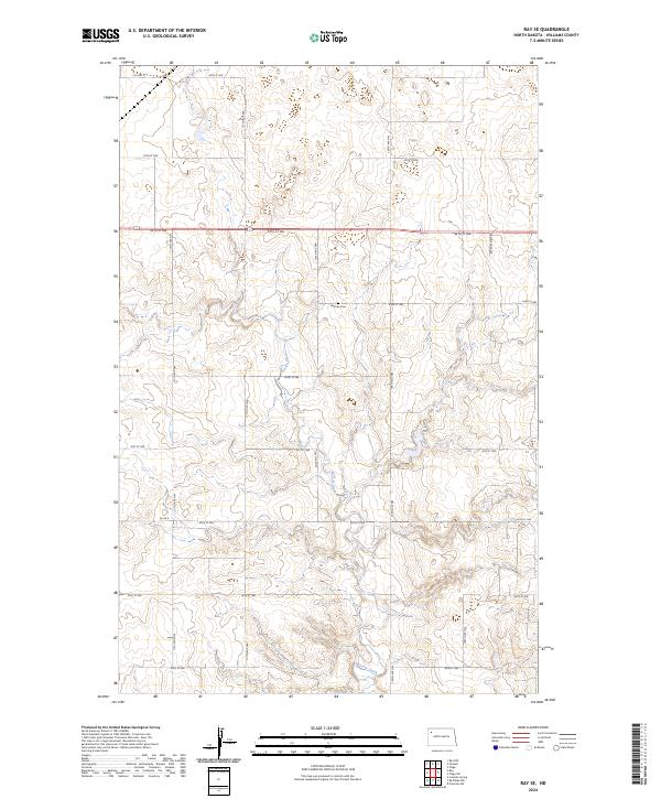
2024 Map of Ray SE
USGS Topo · Published 2024About this map
Beaver Creek meanders through this section of Williams County, carving a distinct drainage pattern through the agricultural landscape. The township structure is well-defined by a precise grid of rural roads, including Prairie Rose Ave and numerical routes like 64th St NW and 110th Ave NW. This recent survey illustrates a modern rural infrastructure where old sectional lines remain the primary influence on movement and settlement. A significant point for genealogical research is the German Cem, located centrally within township T156N R96W. The terrain is characterized by the upland plains typical of western North Dakota, with CO Hwy 17 and CO Rd 8 serving as the primary east-west connectors across the rolling topography.
Find a feature on this map
25 named features on this map. Tap any name to fly to it.
Don’t see what you’re looking for? This feature index may not catch every label — zoom into the map to look around manually.
Map Details
Editions of this 2024 Ray SE Map
This is the sole edition of this map. No revisions or reprints were ever made.
Other maps of this area

1911 · Ray
USGS Topo · 1:125,000

1953 · Williston
USGS Topo · 1:250,000

1957 · Williston
USGS Topo · 1:250,000

1965 · Charlson NW
USGS Topo · 1:24,000

1969 · Cussicks Spring
USGS Topo · 1:24,000

1969 · Red Mike Hill
USGS Topo · 1:24,000

1978 · Ray
USGS Topo · 1:24,000

1978 · Ray SE
USGS Topo · 1:24,000

1978 · Temple
USGS Topo · 1:24,000

1978 · Ray NW
USGS Topo · 1:24,000