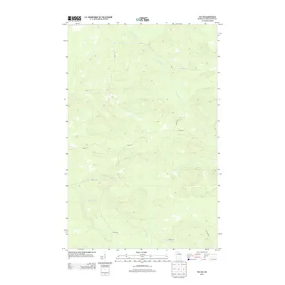
2013 Map of Ray SW
USGS Topo · Published 2013About this map
The Rat Root River meanders through the northern reaches of this Koochiching County landscape, defining the local drainage alongside Beaver Brook in the southwest. This 2013 survey reflects a quiet, rural portion of Minnesota characterized by a sparse network of roads that often bear local family names. Routes such as Boyum Rd, Budris Rd, and Biondich Rd cut through the terrain, suggesting a history of homesteading and timber access. The presence of Maple Lake Rd and Cutacross Rd further illustrates the practical layout of this northern woodland area, where geography and watercourses dictate the path of travel.
Find a feature on this map
7 named features on this map. Tap any name to fly to it.
Don’t see what you’re looking for? This feature index may not catch every label — zoom into the map to look around manually.
Map Details
Editions of this 2013 Ray SW Map
This is the sole edition of this map. No revisions or reprints were ever made.
Other maps of this area

1954 · International Falls
USGS Topo · 1:250,000

1957 · International Falls
USGS Topo · 1:250,000

1958 · International Falls
USGS Topo · 1:250,000

1969 · Ray SE
USGS Topo · 1:24,000

1969 · Ericsburg
USGS Topo · 1:24,000

1969 · Ericsburg SE
USGS Topo · 1:24,000

1969 · Ray
USGS Topo · 1:24,000

1969 · Ray SW
USGS Topo · 1:24,000

1969 · Kabetogama
USGS Topo · 1:24,000

1969 · Nett Lake NE
USGS Topo · 1:24,000