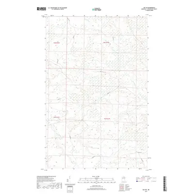
2019 Map of Ray SW
USGS Topo · Published 2019About this map
The Rat Root River meanders across the northern reaches of this Minnesota landscape, its path defined by the low-lying wetlands of Koochiching County. This 2019 survey documents a sparsely settled region dominated by large tracts of undeveloped land, punctuated only by a network of rural access roads that follow the rigid lines of the Public Land Survey System. Further south, Beaver Brook drains the western section of the map, carving through terrain marked by numerous small depressions and marshy areas. The presence of roads like Biondich Rd, Budris Rd, and Boyum Rd suggests a landscape shaped by local landholders and a history of timber or agricultural access. This map offers researchers a clear view of the drainage patterns and secondary road systems in an area where the natural watercourse remains the primary geographical feature.
Find a feature on this map
12 named features on this map. Tap any name to fly to it.
Don’t see what you’re looking for? This feature index may not catch every label — zoom into the map to look around manually.
Map Details
Editions of this 2019 Ray SW Map
This is the sole edition of this map. No revisions or reprints were ever made.
Other maps of this area

1954 · International Falls
USGS Topo · 1:250,000

1957 · International Falls
USGS Topo · 1:250,000

1958 · International Falls
USGS Topo · 1:250,000

1969 · Ray SE
USGS Topo · 1:24,000

1969 · Ericsburg
USGS Topo · 1:24,000

1969 · Ericsburg SE
USGS Topo · 1:24,000

1969 · Ray
USGS Topo · 1:24,000

1969 · Ray SW
USGS Topo · 1:24,000

1969 · Kabetogama
USGS Topo · 1:24,000

1969 · Nett Lake NE
USGS Topo · 1:24,000