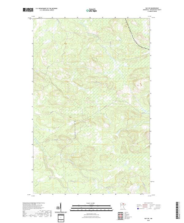
2022 Map of Ray SW
USGS Topo · Published 2022About this map
The Rat Root River meanders across the northern and eastern portions of this Koochiching County landscape, defining a terrain shaped by water and low-lying wetlands. In the southern reaches, Beaver Brook drains toward the southwest, illustrating the subtle topographical shifts of this Minnesota woodland. The human imprint on this area is primarily visible through a sparse network of local thoroughfares that provide access to the interior, including Budris Rd and Biondich Rd.
Find a feature on this map
12 named features on this map. Tap any name to fly to it.
Don’t see what you’re looking for? This feature index may not catch every label — zoom into the map to look around manually.
Map Details
Editions of this 2022 Ray SW Map
This is the sole edition of this map. No revisions or reprints were ever made.
Other maps of this area

1954 · International Falls
USGS Topo · 1:250,000

1957 · International Falls
USGS Topo · 1:250,000

1958 · International Falls
USGS Topo · 1:250,000

1969 · Ray SE
USGS Topo · 1:24,000

1969 · Ericsburg
USGS Topo · 1:24,000

1969 · Ericsburg SE
USGS Topo · 1:24,000

1969 · Ray
USGS Topo · 1:24,000

1969 · Ray SW
USGS Topo · 1:24,000

1969 · Kabetogama
USGS Topo · 1:24,000

1969 · Nett Lake NE
USGS Topo · 1:24,000