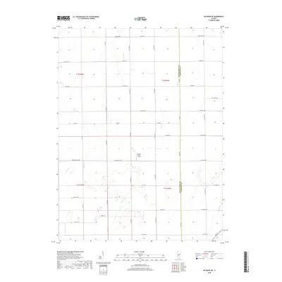
2018 Map of Raymond NE
USGS Topo · Published 2018About this map
Agricultural lands along the border of Montgomery and Christian Counties define this rural landscape. The terrain is crisscrossed by a dense network of sectional roads and drainage systems, including the meandering paths of Macoupin Cr and the W Fork Shoal Cr. A notable modern landmark is the Murphy Farms Airport, situated in the center of the survey area, which highlights the integration of aviation into large-scale farming operations. Local history is etched into the road names, with routes like Morrisonville Ave, Mine Ave, and Grainleg Ave reflecting the region's deep ties to transit, industry, and cultivation. In the southeast, the Prairie Fork flows through the landscape, while smaller tributaries like Clear Cr and Horse Cr break up the predominantly flat prairie geography.
Find a feature on this map
44 named features on this map. Tap any name to fly to it.
Don’t see what you’re looking for? This feature index may not catch every label — zoom into the map to look around manually.
Map Details
Editions of this 2018 Raymond NE Map
This is the sole edition of this map. No revisions or reprints were ever made.
Other maps of this area

1922 · Divernon
USGS Topo · 1:62,500

1923 · Taylorville
USGS Topo · 1:62,500

1923 · Raymond
USGS Topo · 1:62,500

1924 · Divernon
USGS Topo · 1:62,500

1925 · Taylorville
USGS Topo · 1:62,500

1925 · Raymond
USGS Topo · 1:62,500

1946 · Nokomis
USGS Topo · 1:62,500

1949 · Nokomis
USGS Topo · 1:62,500

1958 · Decatur
USGS Topo · 1:250,000

1961 · Decatur
USGS Topo · 1:250,000