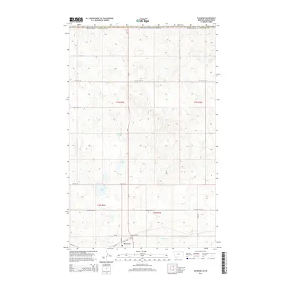
2014 Map of Raymond
USGS Topo · Published 2014About this map
Raymond sits as the primary settlement on this Sheridan County map, located just south of the international border between United States of America and Canada. The landscape is defined by the unique glaciated prairie potholes of the Northern Plains, evidenced by a series of named wetlands such as Mattson Slough, Lochin Slough, and Syme Slough. These water bodies are scattered across a terrain shaped by the slow-moving drainage of McCoy Cr and characterized by the township and range grid of the Public Land Survey System.
Find a feature on this map
25 named features on this map. Tap any name to fly to it.
Don’t see what you’re looking for? This feature index may not catch every label — zoom into the map to look around manually.
Map Details
Editions of this 2014 Raymond Map
This is the sole edition of this map. No revisions or reprints were ever made.
Other maps of this area

1954 · Wolf Point
USGS Topo · 1:250,000

1958 · Wolf Point
USGS Topo · 1:250,000

1983 · Plentywood NW
USGS Topo · 1:24,000

1983 · Dooley
USGS Topo · 1:24,000

1983 · Dooley SW
USGS Topo · 1:24,000

1983 · Plentywood
USGS Topo · 1:24,000

1983 · Raymond
USGS Topo · 1:24,000
1983 · Plentywood SW
USGS Topo · 1:24,000
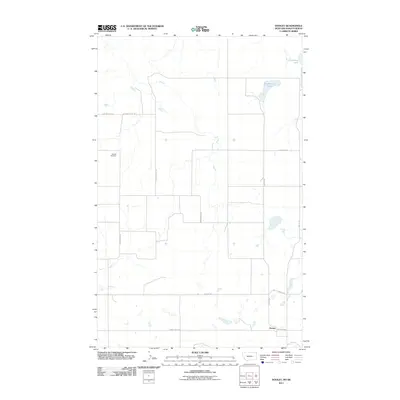
2011 · Dooley
USGS Topo · 1:24,000
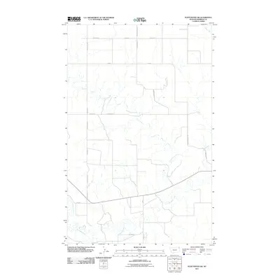
2011 · Plentywood SW
USGS Topo · 1:24,000