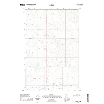
2020 Map of Raymond
USGS Topo · Published 2020About this map
The small settlement of Raymond anchors this portion of Sheridan County, situated just south of the international boundary between Canada and the United States of America. The landscape is defined by the prairie potholes and drainage patterns of the northern Great Plains, characterized by distinctive water bodies like Mattson Slough and Syme Slough. These seasonal wetlands and the intermittent flow of McCoy Creek reflect the hydraulic character of the Montana borderlands.
Find a feature on this map
19 named features on this map. Tap any name to fly to it.
Don’t see what you’re looking for? This feature index may not catch every label — zoom into the map to look around manually.
Map Details
Editions of this 2020 Raymond Map
This is the sole edition of this map. No revisions or reprints were ever made.
Other maps of this area

1954 · Wolf Point
USGS Topo · 1:250,000

1958 · Wolf Point
USGS Topo · 1:250,000

1983 · Plentywood NW
USGS Topo · 1:24,000

1983 · Dooley
USGS Topo · 1:24,000

1983 · Dooley SW
USGS Topo · 1:24,000

1983 · Plentywood
USGS Topo · 1:24,000

1983 · Raymond
USGS Topo · 1:24,000
1983 · Plentywood SW
USGS Topo · 1:24,000
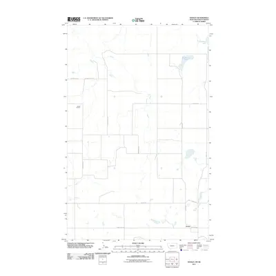
2011 · Dooley
USGS Topo · 1:24,000
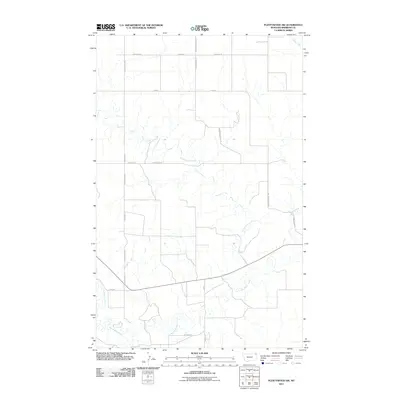
2011 · Plentywood SW
USGS Topo · 1:24,000