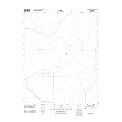
2012 Map of Raynor Creek
USGS Topo · Published 2012About this map
The Chowchilla River winds through this Central Valley landscape, flanked by a network of seasonal drainages including Dutchman Cr and Deadman Cr. The geography is defined by the transition from the flat agricultural plains of the valley floor to the rising foothills, most notably the prominent Table Mountain. This area shows a sparse infrastructure typical of ranching and large-scale land holdings, connected by rural corridors such as Raynor Ranch Rd and Buchanan Hollow Rd. To the east, Raynor Cr and Berenda Cr navigate the undulating terrain. The rectilinear grid of the valley floor, represented by Avenue 26 and Road 23 1/2, ends abruptly as the topography shifts into the natural contours of the Sierra Nevada foothills.
Find a feature on this map
14 named features on this map. Tap any name to fly to it.
Don’t see what you’re looking for? This feature index may not catch every label — zoom into the map to look around manually.
Map Details
Editions of this 2012 Raynor Creek Map
This is the sole edition of this map. No revisions or reprints were ever made.
Other maps of this area

1912 · Mariposa
USGS Topo · 1:125,000

1915 · Owens Creek
USGS Topo · 1:31,680

1916 · Berenda
USGS Topo · 1:31,680

1918 · Owens Creek
USGS Topo · 1:31,680

1918 · Berenda
USGS Topo · 1:31,680

1918 · La Grand
USGS Topo · 1:31,680

1919 · Indian Gulch
USGS Topo · 1:48,000

1919 · Raynor Creek
USGS Topo · 1:31,680

1920 · Indian Gulch
USGS Topo · 1:62,500

1920 · Kismet
USGS Topo · 1:31,680