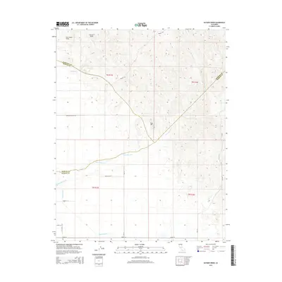
2015 Map of Raynor Creek
USGS Topo · Published 2015About this map
The Chowchilla River winds through the boundary lands of the San Joaquin Valley, where the transition from flat valley floor to the rising foothills of the Sierra Nevada is marked by the prominent Table Mtn. This landscape is defined by its complex water management and seasonal drainage, featuring the Madera Canal and several significant creeks including Deadman Cr, Dutchman Cr, and the eponymous Raynor Creek. The geography here reflects the tri-county intersection of Merced, Madera, and Mariposa, showing the intersection of agricultural infrastructure and the natural topography of the Central Valley. Surveyed in the mid-2010s, the map provides a clear record of the area's rural road network, including Buchanan Hollow Rd and Preston Rd, which navigate the increasingly contoured terrain as the valley meets the mountains.
Find a feature on this map
26 named features on this map. Tap any name to fly to it.
Don’t see what you’re looking for? This feature index may not catch every label — zoom into the map to look around manually.
Map Details
Editions of this 2015 Raynor Creek Map
This is the sole edition of this map. No revisions or reprints were ever made.
Other maps of this area

1912 · Mariposa
USGS Topo · 1:125,000

1915 · Owens Creek
USGS Topo · 1:31,680

1916 · Berenda
USGS Topo · 1:31,680

1918 · Owens Creek
USGS Topo · 1:31,680

1918 · Berenda
USGS Topo · 1:31,680

1918 · La Grand
USGS Topo · 1:31,680

1919 · Indian Gulch
USGS Topo · 1:48,000

1919 · Raynor Creek
USGS Topo · 1:31,680

1920 · Indian Gulch
USGS Topo · 1:62,500

1920 · Kismet
USGS Topo · 1:31,680