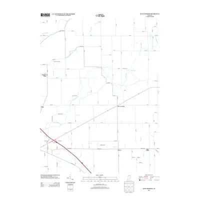
2013 Map of Rays Crossing
USGS Topo · Published 2013About this map
Rays Crossing and Blue Ridge anchor this detailed study of the Indiana countryside, where the agricultural grid meets a network of meandering waterways. The landscape is defined by the drainage basins of the Little Blue River and Big Blue River, along with numerous tributaries like Lewis Cr and Conns Cr. These water sources historically dictated the placement of small rural clusters such as Meltzer and Meiks. The map reveals the persistence of early aviation in this farming region, noting Foltz Farm Airport and Nasby Airport tucked among the section lines. The intersection of local routes like E Marion Rd and N Morristown Rd demonstrates the connectivity of these outlying communities to the larger county seat. While Knighthood Village sits on the western edge, the central focus remains on the expansive farm tracts that characterize this portion of Shelby County.
Find a feature on this map
93 named features on this map. Tap any name to fly to it.
Don’t see what you’re looking for? This feature index may not catch every label — zoom into the map to look around manually.
Map Details
Editions of this 2013 Rays Crossing Map
This is the sole edition of this map. No revisions or reprints were ever made.
Other maps of this area

1942 · Columbus
USGS Topo · 1:125,000

1948 · Lewis Creek
USGS Topo · 1:24,000

1950 · Edinburg
USGS Topo · 1:62,500

1952 · Fountaintown
USGS Topo · 1:24,000

1953 · Shelbyville
USGS Topo · 1:24,000

1953 · Cincinnati
USGS Topo · 1:250,000

1956 · Morristown
USGS Topo · 1:24,000

1956 · Waldron
USGS Topo · 1:24,000

1956 · Rays Crossing
USGS Topo · 1:24,000

1957 · Cincinnati
USGS Topo · 1:250,000