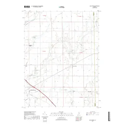
2019 Map of Rays Crossing
USGS Topo · Published 2019About this map
Shelbyville anchors the southwestern corner of this survey, where the landscape transitions from the urban outskirts of the county seat into the organized grid of Shelby County’s agricultural heartland. The northeastern flow of the Little Blue River and its various tributaries, including Sulphur Run and Cotton Run, dictate the winding paths of rural routes like E Short Blue Rd that break the otherwise rigid section lines. Smaller communities and named intersections such as Rays Crossing, Meltzer, and Blue Ridge serve as local hubs for the surrounding farmsteads.
Find a feature on this map
63 named features on this map. Tap any name to fly to it.
Don’t see what you’re looking for? This feature index may not catch every label — zoom into the map to look around manually.
Map Details
Editions of this 2019 Rays Crossing Map
This is the sole edition of this map. No revisions or reprints were ever made.
Other maps of this area

1942 · Columbus
USGS Topo · 1:125,000

1948 · Lewis Creek
USGS Topo · 1:24,000

1950 · Edinburg
USGS Topo · 1:62,500

1952 · Fountaintown
USGS Topo · 1:24,000

1953 · Shelbyville
USGS Topo · 1:24,000

1953 · Cincinnati
USGS Topo · 1:250,000

1956 · Morristown
USGS Topo · 1:24,000

1956 · Waldron
USGS Topo · 1:24,000

1956 · Rays Crossing
USGS Topo · 1:24,000

1957 · Cincinnati
USGS Topo · 1:250,000